RatesNot published on their website; ask the park
Sites
AmenitiesAs the park lists them
The campgroundFrom Recreation.gov's site records
Recreation.gov records 91 campsites at Hoyer under Apache-Sitgreaves National Forest, at about 8,300 feet. 78 sites are back-in. 80 driveways are paved and 11 are gravel. The longest vehicle any site takes is 45 feet, and half the sites take 40 feet or more.
None of Hoyer's recorded sites lists a hookup. Every recorded site is listed as shaded.
Check-in is 2:00 p.m. and checkout 1:00 p.m. at most sites.
From Show Low, Arizona, take Highway 260 southeast 42 miles to Highway 373. Take Highway 373 south 3 miles to the campground, which is on the right.
Directions from Recreation.gov
Around HoyerPlaces to eat, stay and fly in
For a night under a roof instead, the nearest hotels are Lazy Trout Motel (1.3 miles), White Mountain Lodge (1.9 miles) and Greer Lodge (2.9 miles).
The nearest airport is Saint Johns Industrial Air Park (SJN), 33 miles away.
Supplies near HoyerDump stations, propane, fuel and groceries
To empty the tanks, the nearest mapped dump stations are an unnamed dump station (11.7 miles) and an unnamed dump station (12.2 miles) from Hoyer.
Groceries: Bashas' (10.6 miles). Laundry: OK Laundry (Value Add Cards) (11.1 miles).
The nearest hospital is White Mountain Regional Medical Center (11.6 miles).
Compare HoyerSide by side with the nearest parks on this site
| Park | Miles | Type | Sites | Electric | Longest rig | Pull-through | Nightly | Monthly | Full hookups | Pets |
|---|---|---|---|---|---|---|---|---|---|---|
| Hoyer | - | Federal campground | 91 | - | 45 ft | - | - | - | - | - |
| Benny Creek Campground | 0.6 | Federal campground | 10 | - | 35 ft | - | - | - | - | - |
| Winn Campground | 5.5 | Federal campground | 64 | - | 99 ft | 25 | - | - | - | - |
| Brookchar Campground | 12 | Federal campground | 13 | - | - | - | - | - | - | yes |
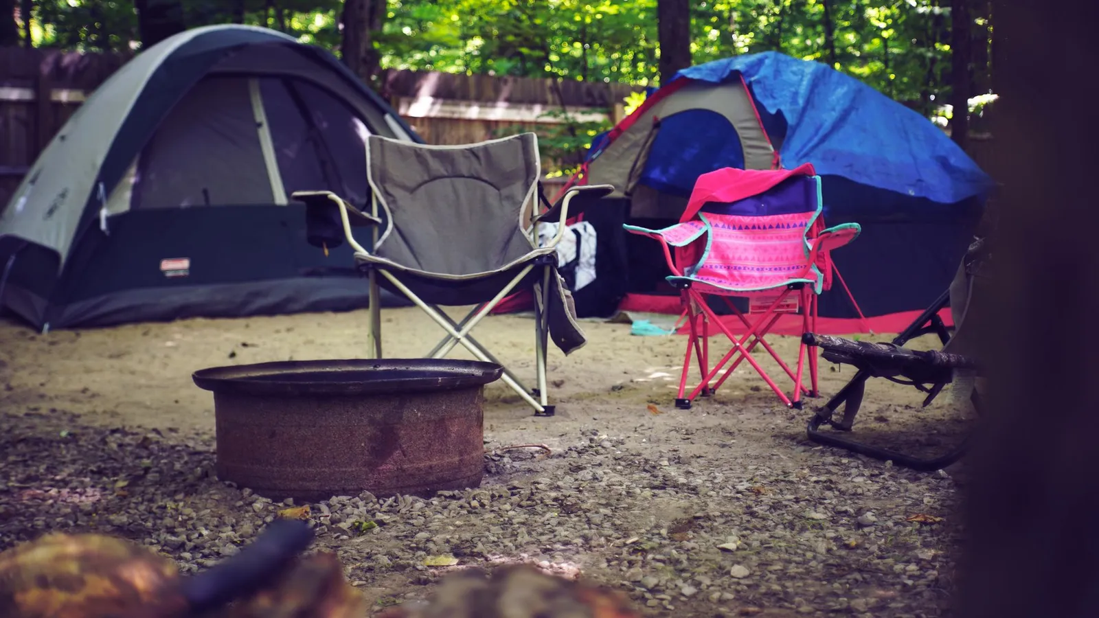
PhotosThe photo above is stock showing the kind of place, not this park
About Hoyer
Hoyer is a campground in Apache County, Arizona. It lists 91 sites. The longest rig it takes is 45 feet.
Hoyer is one of 10 RV parks and campgrounds on the Apache County page, and one of 98 federal campgrounds listed in Arizona.
Closest to Hoyer: Benny Creek Campground (under a mile), Winn Campground (6 miles) and Brookchar Campground (12 miles).
Run this park?
Correct the facts, add photos and your booking link. A Featured spot on the Arizona page is $XX/mo, 3 spots per state.
Claim this parkQuestions about this listing: [email protected]